- End-to-End Mapping with DJI Terra
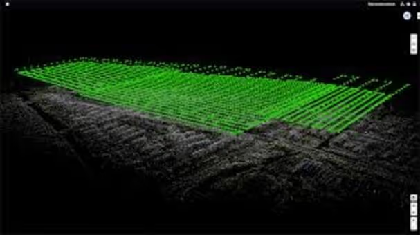
- 2D Orthomosaic & 3D Model Generation
- Ground Control Point Integration
- Real-Time Mapping & Quick Analyses
- Sharing & Collaborating with Teams
You’ll learn how to Install DJI Terra and connect to supported DJI aircraft. Configure your project environment, ensure data synchronisation, and access cloud-based resources for scalable processing.
You’ll learn to define output resolution, coordinate systems, and data privacy protocols. Streamline your workflow with custom processing profiles and create automation sequences for repetitive tasks.
You’ll learn to process imagery quickly into detailed orthomosaics, DSMs, and meshes. Employ Terra’s quality reports to validate accuracy, and adapt parameters as needed for various project requirements.
Leverage built-in measurement tools, annotations, and volumetric calculations. Export results directly to collaborative platforms, share interactive models with stakeholders, and integrate outputs into enterprise systems.
- Surveying and mapping professionals seeking an integrated solution
- Construction teams requiring real-time project updates
- Environmental agencies monitoring terrain and habitat changes
- Emergency responders needing rapid situational awareness maps


.avif)