- High-Resolution Imaging Fundamentals
- Camera Calibration & Configuration
- Advanced Lens Systems & Sensor Settings
- Data Handling, Storage & Workflow Management
- Integrating P3 with Enterprise Applications
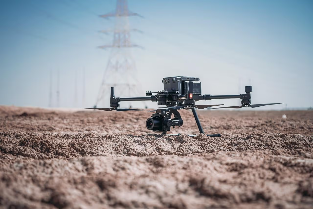
You’ll learn step-by-step instructions for securely mounting the P3 camera on compatible drones. Calibrate focus, align the gimbal, and set the correct lens parameters to achieve edge-to-edge sharpness and accurate image georeferencing.
Learn to adjust shutter speed, aperture, and ISO to handle diverse lighting conditions. Understand how to select the right lens for your mission, whether it’s wide coverage for mapping or a telephoto lens for detailed inspections, and ensure consistent, high-quality imagery.
Plan flight paths and overlaps to achieve the desired ground sampling distance. Utilise real-time camera feedback, ensure consistent exposure across large areas, and manage complex multi-flight projects with ease.
Efficiently transfer large image sets, maintaining a well-structured storage and backup system. Integrate with leading photogrammetry software, perform radiometric corrections, and apply advanced filters and image enhancements for pristine final products.
- Professional photographers and cinematographers demanding highest fidelity
- Surveyors and GIS specialists requiring pinpoint accuracy
- Inspection teams needing ultra-detailed imagery for asset assessments
- Researchers and engineers pushing the boundaries of aerial data quality


.avif)