- High-Volume Photogrammetry Workflows
- Orthomosaic and DSM/DTM Generation
- Scalable 3D Reconstruction
- Accuracy Reports and Error Correction
- Exporting for GIS, CAD, and Infrastructure Projects
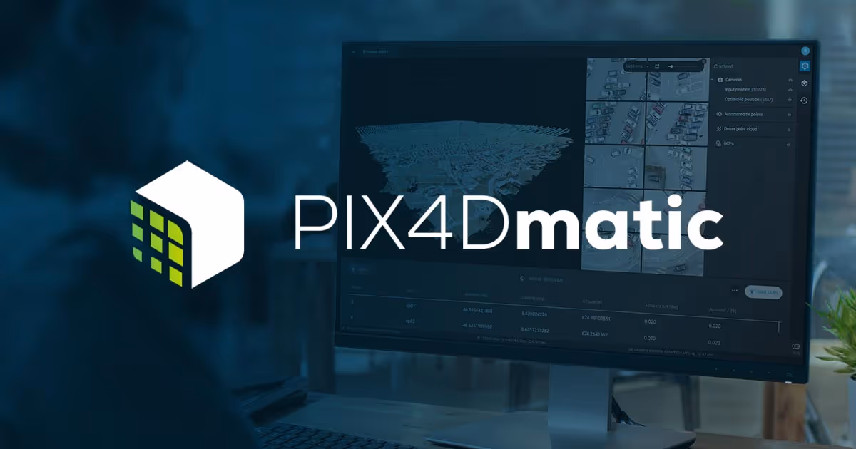
You’ll get started by installing Pix4Dmatic and navigating its streamlined interface. Understand the step-by-step project workflow, from importing imagery to exporting outputs, with clear visibility of processing stages.
You’ll learn to prepare projects for scale. Import imagery, apply control points, and select parameters suited to corridor and high-area projects. You’ll configure coordinate systems and ensure optimal image overlap and resolution.
You’ll explore key parameters that influence performance and accuracy. Work with quality reports, point cloud settings, and mesh outputs to meet industry expectations. Manage RAM and GPU usage for efficient results.
You’ll learn to extract useful products like orthomosaics, DSMs, and 3D meshes. Export compatible files for civil engineering software, infrastructure planning tools, or geospatial systems.
- Surveyors and engineers working on large or linear projects
- Professionals managing high-volume drone data
- Teams involved in infrastructure and transport mapping


.avif)